


|
||
|
Maghull to Burscough
Burscough
to Wigan
Former Lancaster Canal South
Johnson's Hillock to Cherry Tree
Blackburn
|
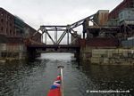
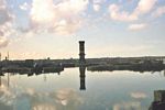
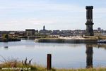
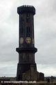
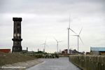
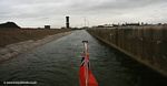
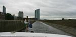
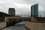
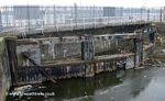
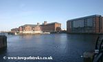
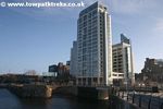
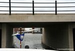
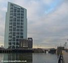
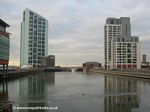
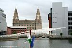
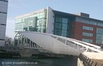
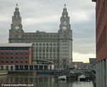
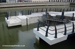
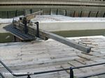
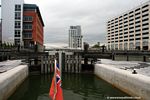
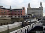
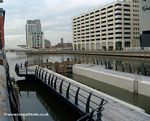
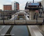
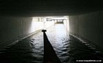
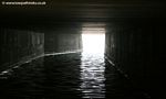
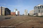
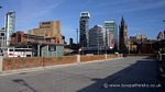
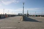
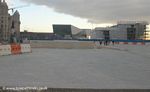
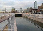
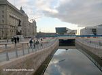
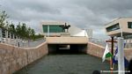
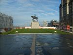
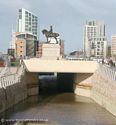
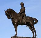
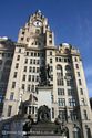
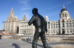
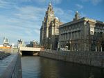
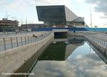
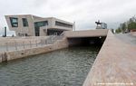
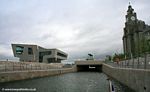
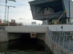
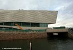
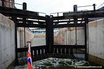
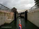
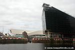
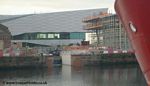
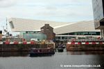
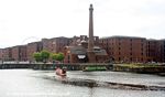
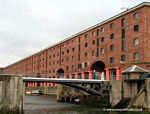
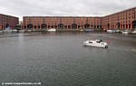
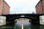
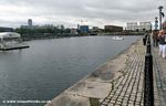
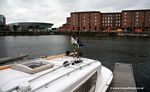
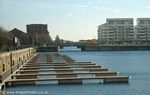
Liverpool Dock Link
|
Shipley to Leeds
Stockbridge to Shipley
Skipton to Stockbidge
Gargrave to Skipton
Greenberfield to Gargrave
Foulridge to Greenberfield
Burnley Lane to Foulridge Tunnel
Rishton, Church and Hapton |
|
|
||
copyright © 20015 www.towpathtreks.co.uk last updated: 28-Aug-2010